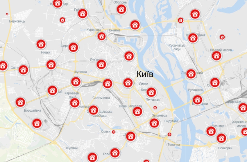
Starting yesterday, the "Diia" app features a shelter map. With its help, users can plot a route to the nearest safe location and more.
This information was shared by the Ministry of Digital Transformation of Ukraine on Telegram.
According to the department, users can quickly locate the nearest shelter, view information, and plan a route using the map.
Additionally, on the interactive map, users can:
• View the appearance, rating, and photos of shelters.
• Learn how many people the shelter can accommodate.
• Assess the condition of the shelter.
• Leave feedback and report if the shelter is closed; this information will be forwarded to the relevant authorities.
• Share the location with family or friends.
During map browsing, users can apply filters based on parameters, for example, to select shelters for people with disabilities.
The map can be downloaded for offline access. To do this, users need to go to the "Resilience" section and press "Download Map."
For safety reasons, the map will not be available in Donetsk, Luhansk, Zaporizhzhia, and Kherson regions. In these regions, residents can obtain shelter addresses from local authorities.


