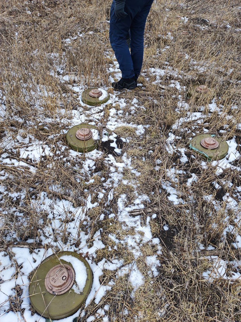
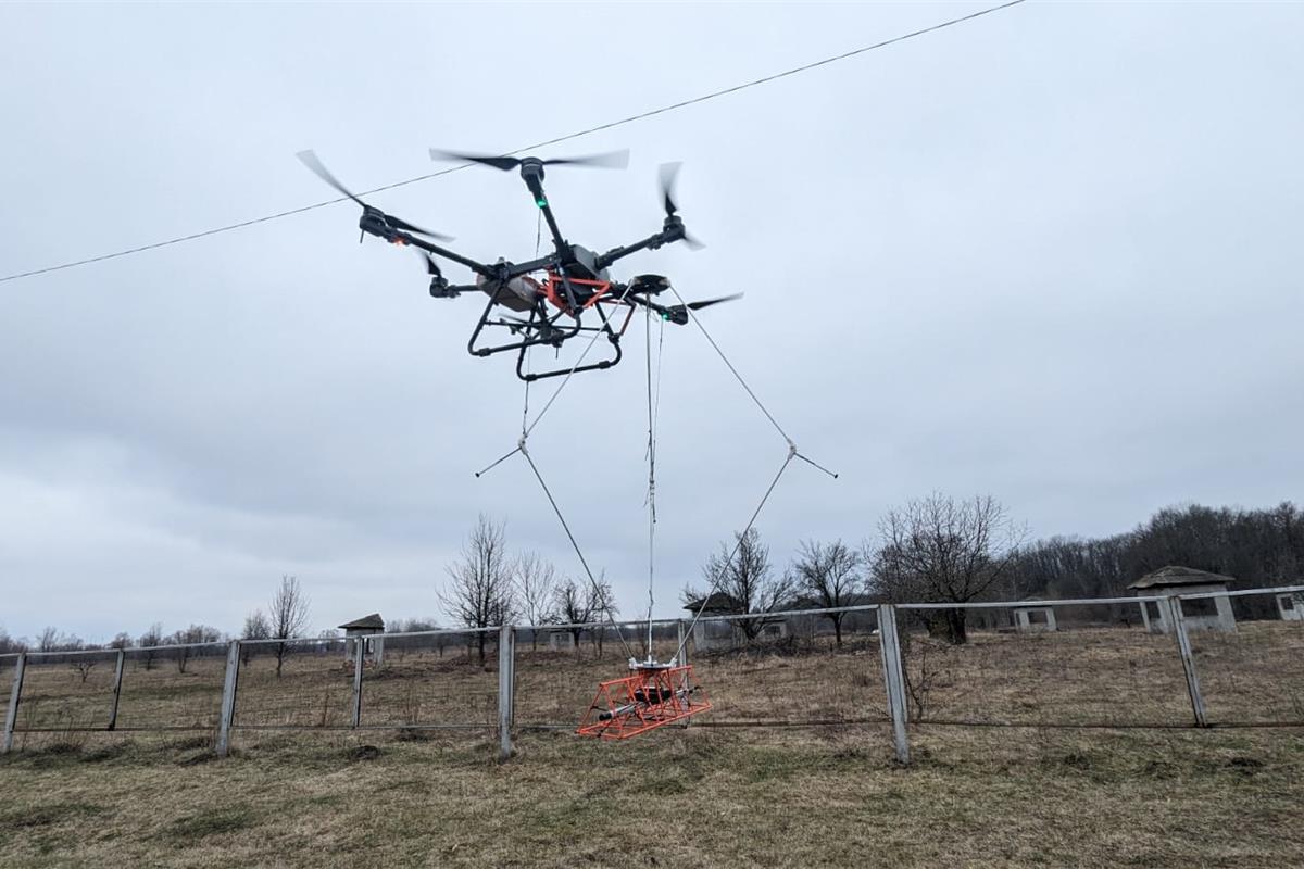
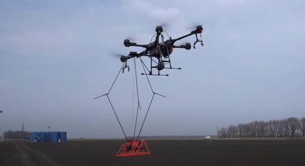
The developers of the MinesEye project are working on creating a multi-sensor system for detecting explosive objects. They use a magnetometer suspended from a UAV (Unmanned Aerial Vehicle). Recently, the developers tested sensors for mine detection in field conditions.
Improved mounting stabilizes the equipment and allows for increased accuracy of measurements. The drone is additionally equipped with an orthophoto camera, which takes 5-7 photos per second or 120,000 images per hectare, enabling the creation of a detailed photomap synchronized with other measurement results. In addition, MinesEye experts have developed their own software for processing survey results, as reported by the Ministry of Economy.
Currently, the developers are working on training artificial intelligence to analyze photos taken by the orthophoto camera and search for anti-tank mines. This will allow for the detection of plastic mines that may not be detected by the magnetometer.
The UADamage development team also uses a magnetometer and an orthophoto camera for terrain surveys and additionally scans areas in the infrared spectrum. In the near future, they plan to use ground-penetrating radar as well. The collected data is consolidated and compiled into a multi-level map of the surveyed area. Over the course of a year, the team has reduced the information processing time from several days to one. The goal is to further increase the speed of data processing to a few hours to provide a ready map almost immediately after the survey.
