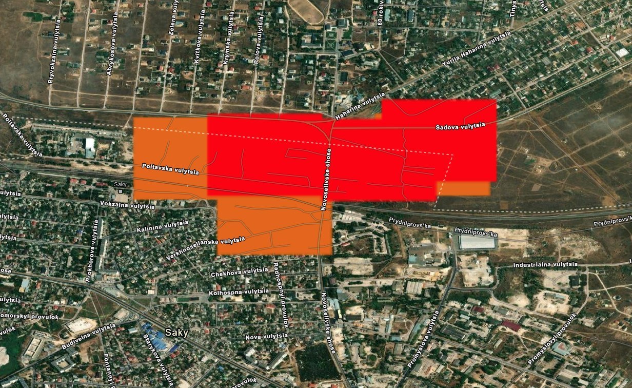

SwiftUI developer Yaroslav Sherstyuk has created the TacticMap application for iPhone, a tool designed to help military personnel effectively utilize tactical information by overlaying it directly onto maps. TacticMap appeared on the App Store on February 2, 2024. Within two days, the application was ranked 15th, despite the developer noting that there are thousands of applications in the "Navigation" category. Within two weeks, there were already 326 users.
TacticMap is a multifunctional application specifically developed for military personnel and professionals working with maps and coordinates. It works even without internet access and is available in both Ukrainian and English languages.
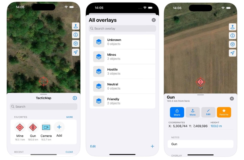
Key features of the application include:
-
Map functionality: Users can download cartographic data for online and offline use. The application offers a wide selection of maps covering various territories and scales.
-
Creation of tactical objects: It allows users to create layers and tactical objects according to the NATO APP6 standard. Users can store and manage important points and objects on the map.
-
Support for coordinate systems: TacticMap supports various coordinate systems, including UTM, WGS84, MGRS, and UTM, allowing users to work with data accurately on any terrain.
-
Import and export of layers: TacticMap's additional functionality allows users to import and export layers and objects for easy sharing with other users.
-
iCloud storage: All data is stored in iCloud, ensuring its security and availability on all devices.
Two days ago, TacticMap received an update that includes:
- In the "Settings" section, the ability to set the color and thickness of the line during distance and angle measurements, as well as the polyline during distance measurements, has been added.
- Also in the "Settings" section, the option to change the type of online map (overview, satellite) has been added.
- In the screen for creating a new object, the choice of radius color has been added.
Additionally:
- The "Settings" screen has been redesigned.
- A check for the presence of overlays before saving the polyline has been added.
- Depending on the standard identity of the object, the corresponding radius color will be substituted on the map.
During the next week (March 11-17), the application will be available for free download, as announced on the TacticMap LinkedIn page.