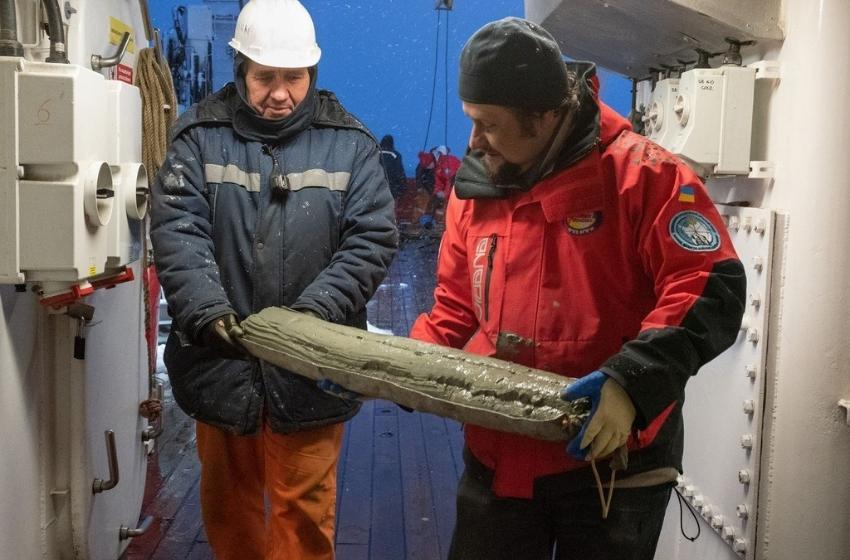
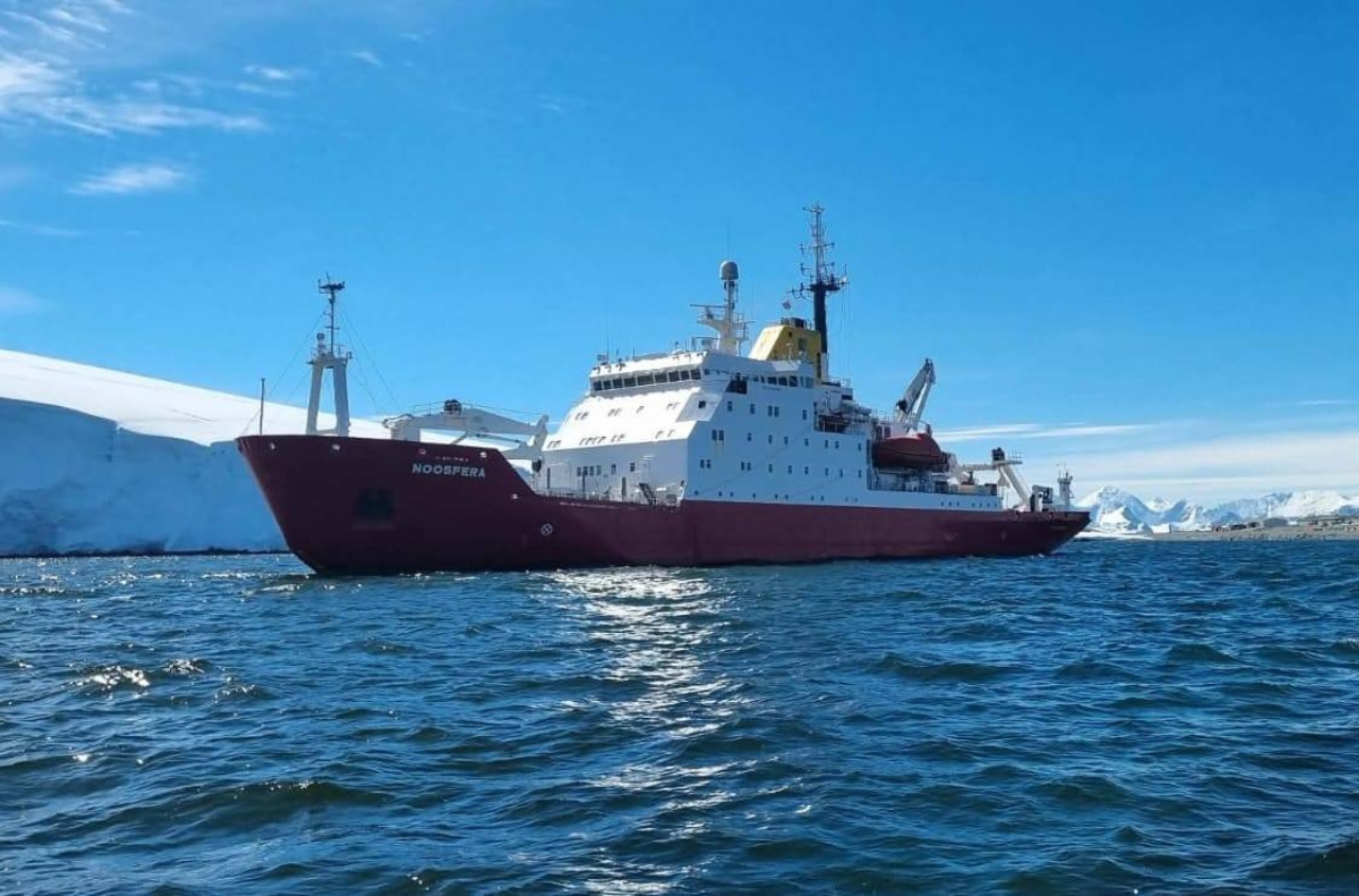
Although most of the scientific programme of the first voyage of the "Noosphere" had to be canceled due to the war, our scientists were still able to conduct planned geological research onboard the ship! For the first time in 20 years, a Ukrainian expedition took samples of bottom sediments in the ocean. Studying them will help better understand Antarctica's complex geological and climatic history. This, in turn, will improve the assessment of prospects for the search for minerals there.

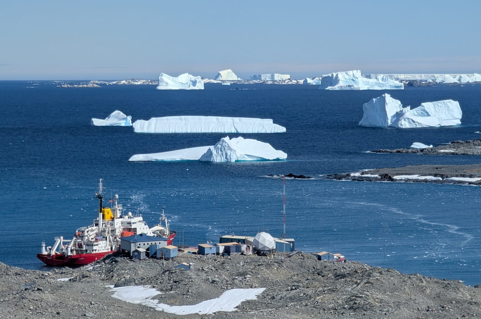
Research into the geology of the Southern Ocean began during the first Ukrainian Antarctic expeditions, which were provided by its own research vessel. However, our entire scientific fleet was sold or put under the knife over time, so Ukraine's study of the world's oceans stopped for two decades. Now, thanks to the emergence of our own research icebreaker, we continue to study the geological structure and history of geological development in the Argentine Islands in Antarctica, where the Ukrainian Vernadsky Research Base is located - only, of course, using a much more modern arsenal of research methods.

In the first stage, scientists studied the underwater terrain in the Penol Strait using bathymetric profiling. There were two deflections, which are separated by an underwater hill. Therefore, scientists have taken columns of bottom sediments in these depressions - from depths of 251 to 300 meters.
The raised columns on board were described in detail, photo fixation was performed and samples were taken at the required intervals. Further research will take place in the laboratories of Kyiv and Odessa.

Studying these deposits will help find answers to several important questions:
- The Penola Strait is the place that separates the archipelago of the Argentine Islands from the Antarctic Peninsula, ie the continent. The accumulation of bottom sediments in the geological past began immediately after the liberation of this area from permanent ice at the end of the last ice age. Therefore, scientists will be able to analyze the history of this accumulation, particularly by changes in sedimentary materials "read the chronicle of the ice age" and simulate how the environment has changed.
- Their mineralogical, granulometric, chemical, and micropaleontological composition will be studied in separate samples. This will allow us to learn more about how this area was freed from ice (deglaciation), and the climate system came from the last ice age.
- Previous research has found a significant tectonic fault in the Penola Strait, which separates island archipelagos, including the Argentine Islands, from the Antarctic Peninsula. Such a sizeable tectonic disturbance must have certain manifestations both in the morphology of the seabed and in the bottom sediments. However, during the last ice age, the same strait was probably occupied by a glacier and was a large glacial valley. The movements of a large amount of ice form specific landforms and lead to the formation of special sediments. Therefore, geological processes of different origins must coexist and find a place within one strait. This question also needs to be clarified by our scientists.

Thank you for the photo and information to Serhiy Kadurin


