Russians have set up a GPS jamming system near the Gelendzhik port in Novorossiysk.
This was reported by OSINT analyst H.I. Sutton.
The analysis utilized data from the Automatic Identification System (AIS), which is used in civilian shipping.
The analysis of the AIS system revealed that the location of Russian ships differed from their actual positions.
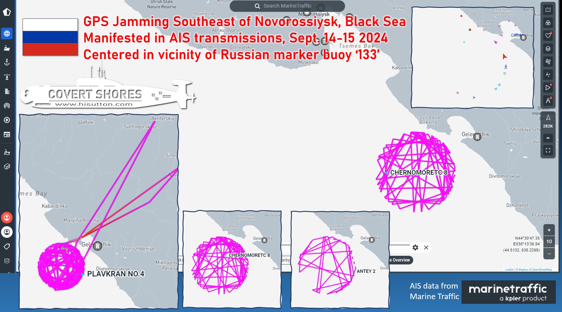
According to the analyst, the jamming is concentrated around Russian marker buoy No. 133, causing the location of ships using the Global Positioning System (GPS) to show incorrect positions.
The GPS jamming system is aimed at countering the reconnaissance activities of Ukrainian intelligence services, preventing the accurate detection of ship locations in the port through spoofing.
The incorrect positioning of Russian ships in Novorossiysk was also observed by the monitoring group Crimean Wind, which noted ships appearing to be located on land.
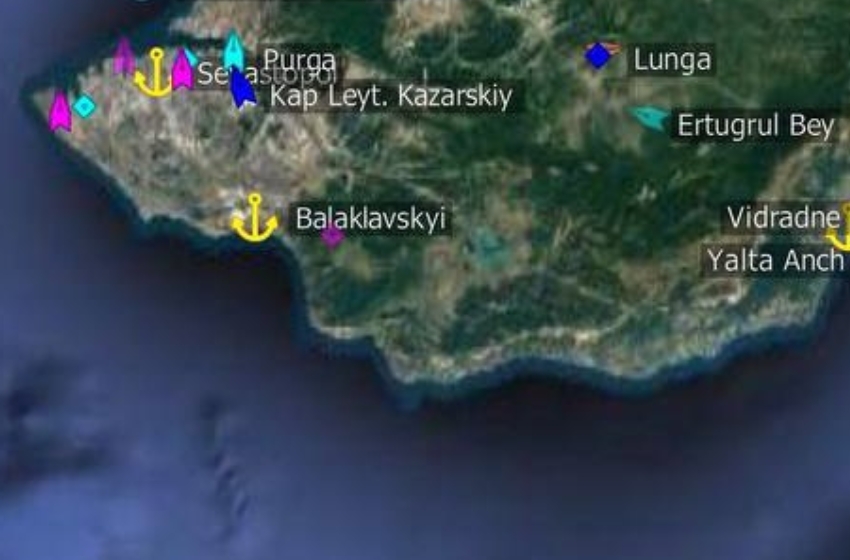
In addition to Novorossiysk, a similar GPS jamming system was also detected in July in the Crimea Peninsula, near Sevastopol.


