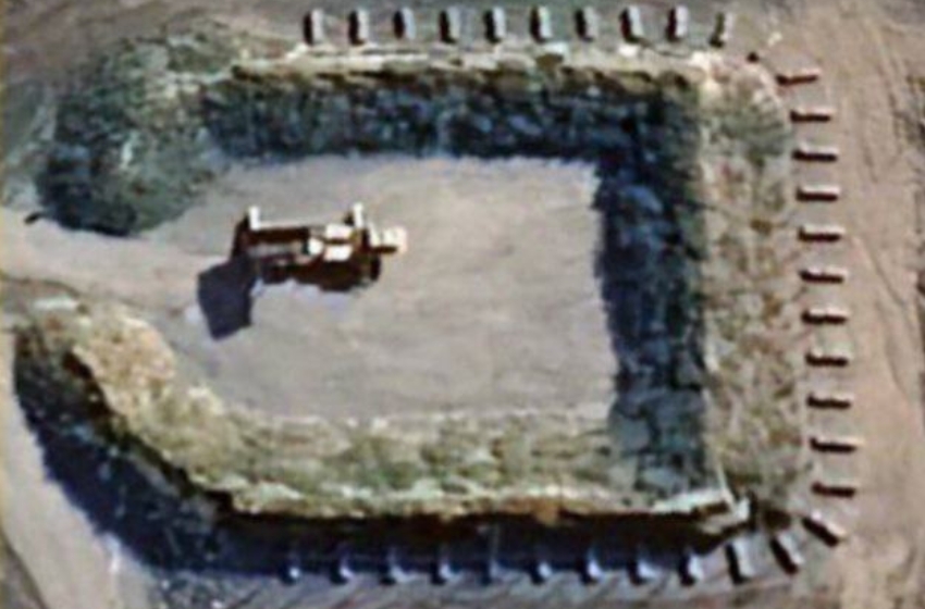
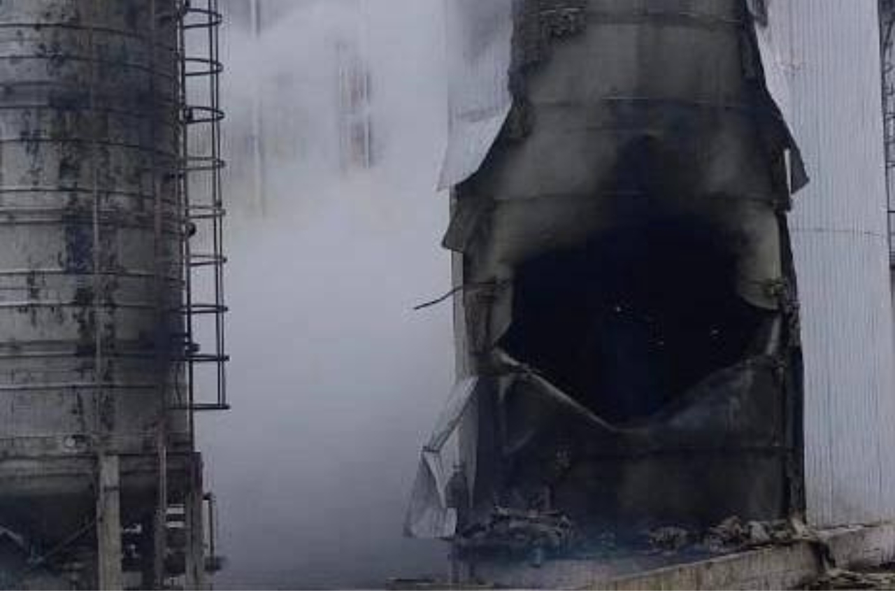
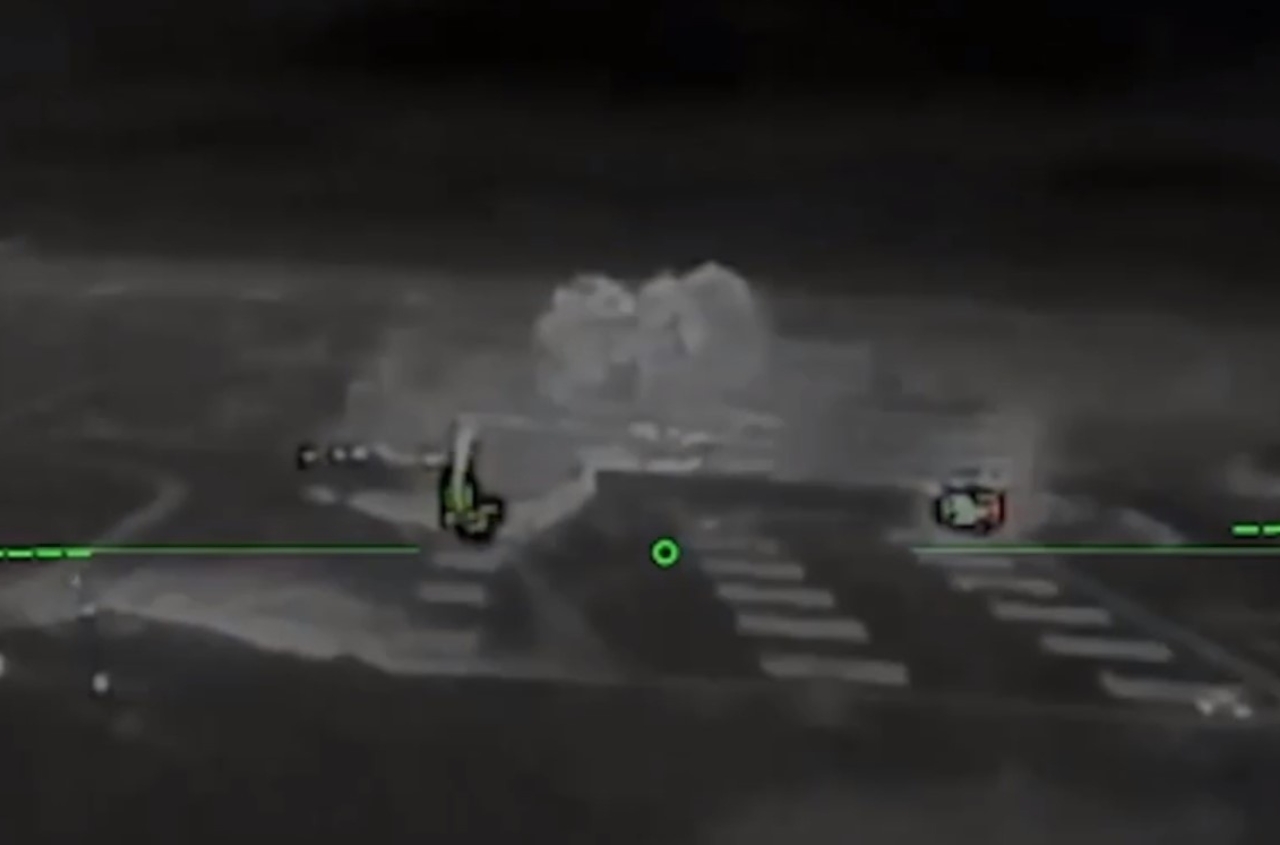
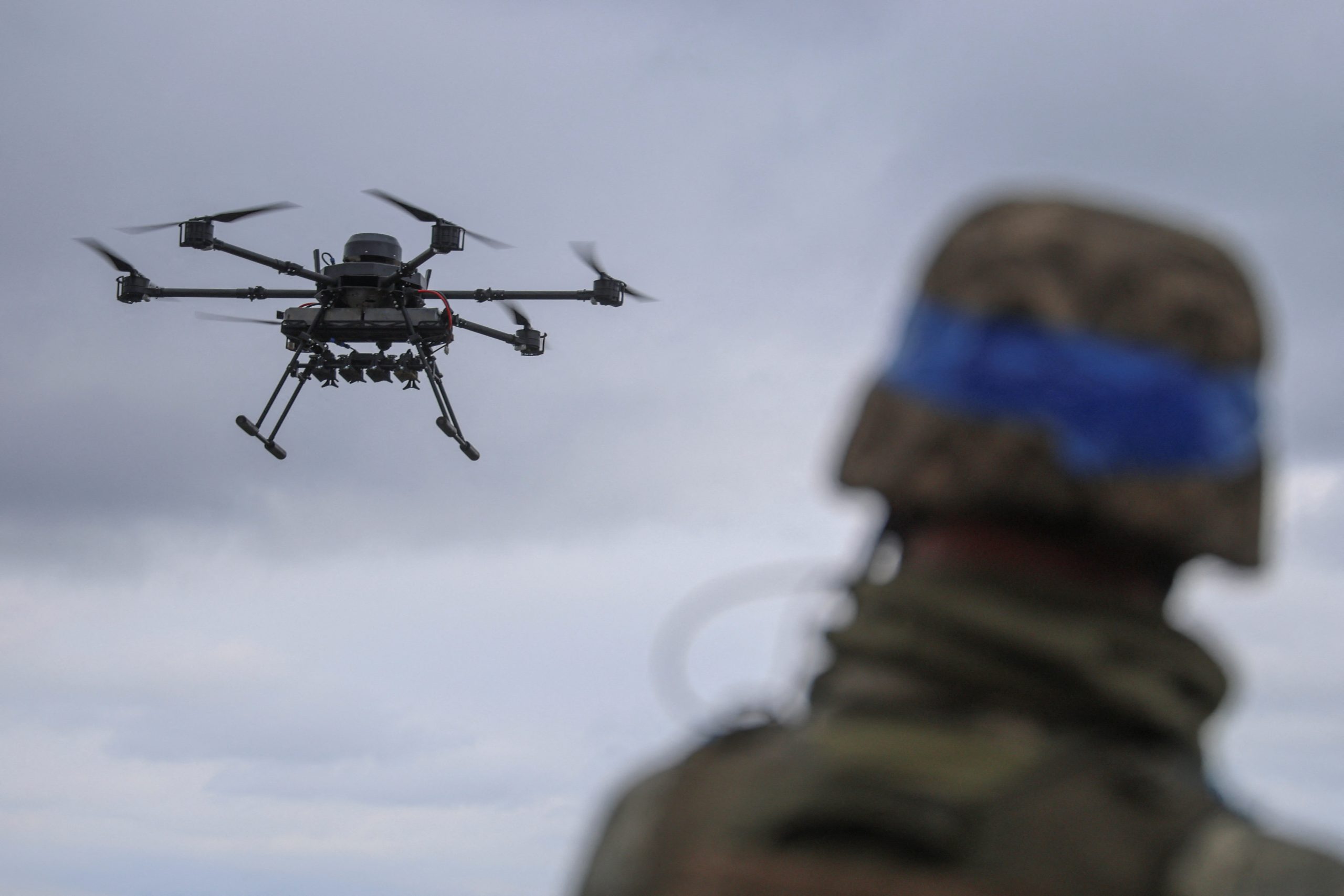
The Google Maps service has updated satellite imagery of Ukraine, revealing the locations of military facilities, as reported by Andriy Kovalеnко, head of the Center for Counteracting Disinformation under the National Security and Defense Council.
He noted, “Imagine a situation where Google posts updated images on their maps that reveal the placement of our military systems. We reach out to them for a quick fix, but it's the weekend—so it’s not a priority.”
According to Kovalenko, the updated Google Maps images have been actively disseminated by Russian sources, particularly on Telegram channels that highlighted the presence of air defense systems at Kyiv’s Zhulyany airport. These systems were identified as Patriot missile systems. The new images were dated September 28, 2023, while an earlier image from April 2022 showed only an empty field in the same location. Additionally, satellite imagery of the Starokonstantinov airport in the Khmelnytskyi region has also surfaced, displaying aircraft, hangars, and other installations.
Later, Kovalенко reported that Google representatives contacted Ukrainian authorities and are currently addressing the issue.
“We will discuss how to resolve any problems promptly in the future,” he added.
Google utilizes satellite imagery from the American company Maxar, which primarily serves U.S. intelligence agencies, including the National Reconnaissance Office (NRO) and the National Geospatial-Intelligence Agency (NGA). Following the onset of the war in Ukraine, these agencies have more than doubled their procurement of satellite images of the region. However, Maxar has stated it is facing a shortage of satellites and has plans to launch additional devices to meet U.S. intelligence demands.
In contrast, after the full-scale invasion of Ukraine, Google has disabled certain features of its mapping service. For instance, it removed the ability to receive real-time information about traffic and crowd levels in various public places, citing “the safety of local communities” as the reason for these changes.


